(404) 596-8004
Mill Creek
About
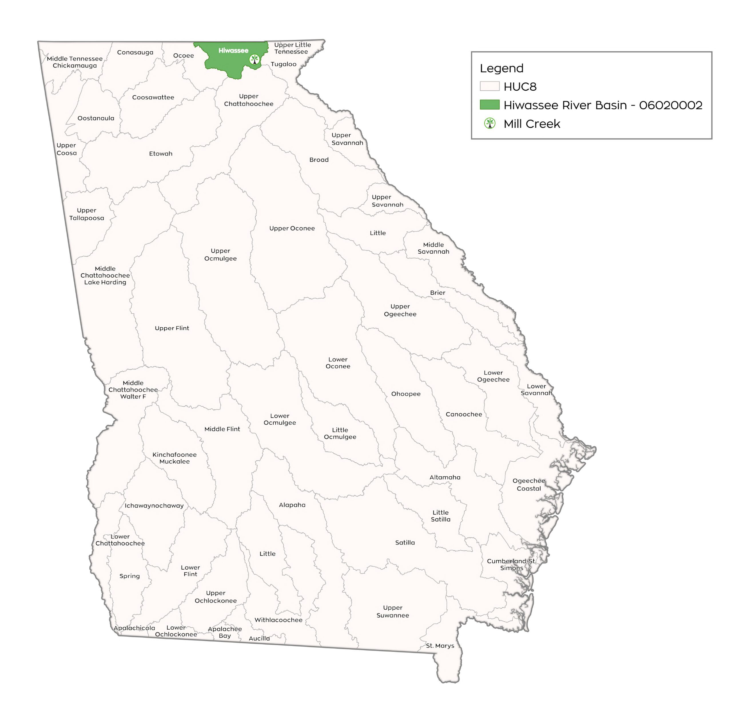
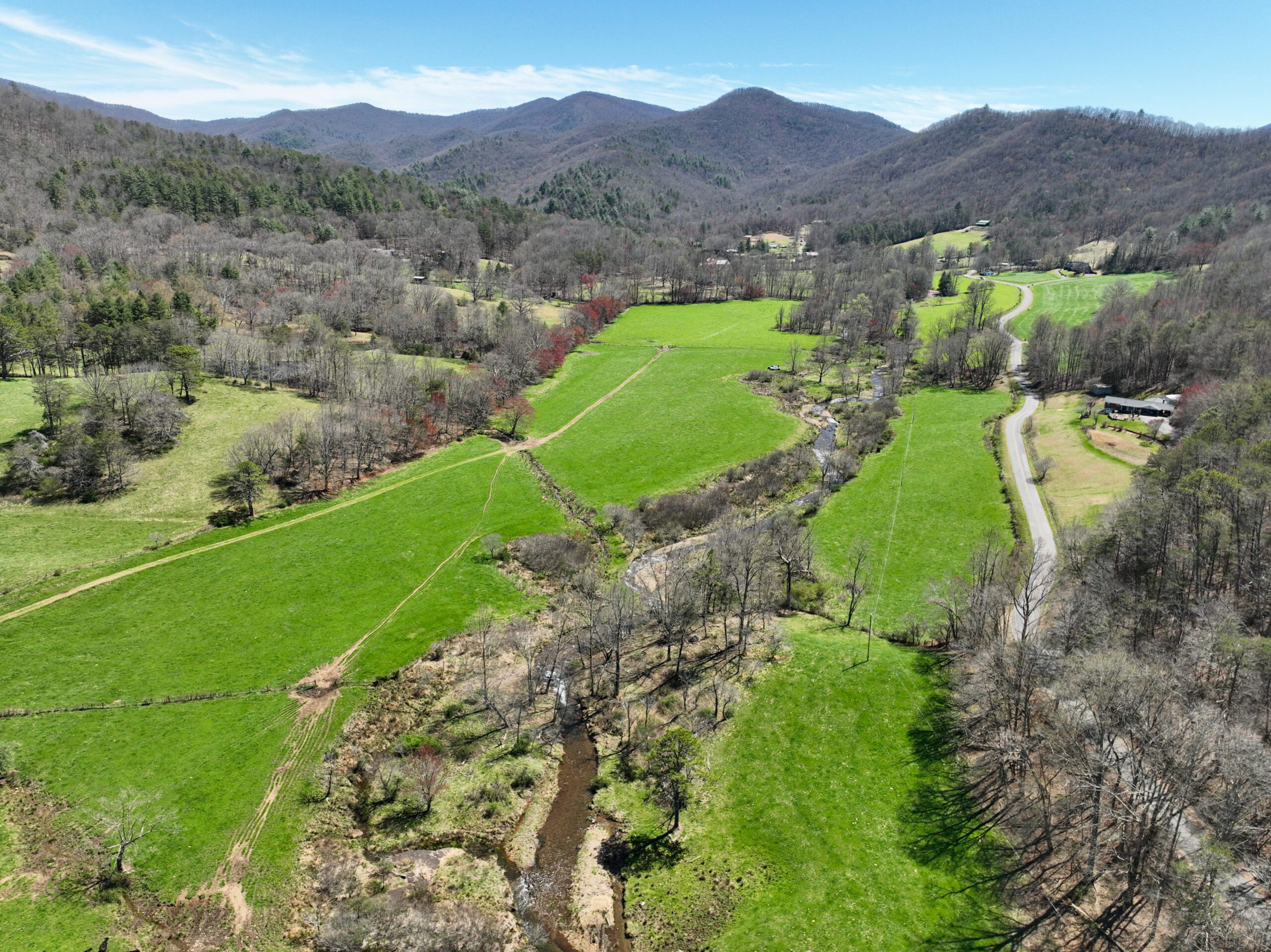
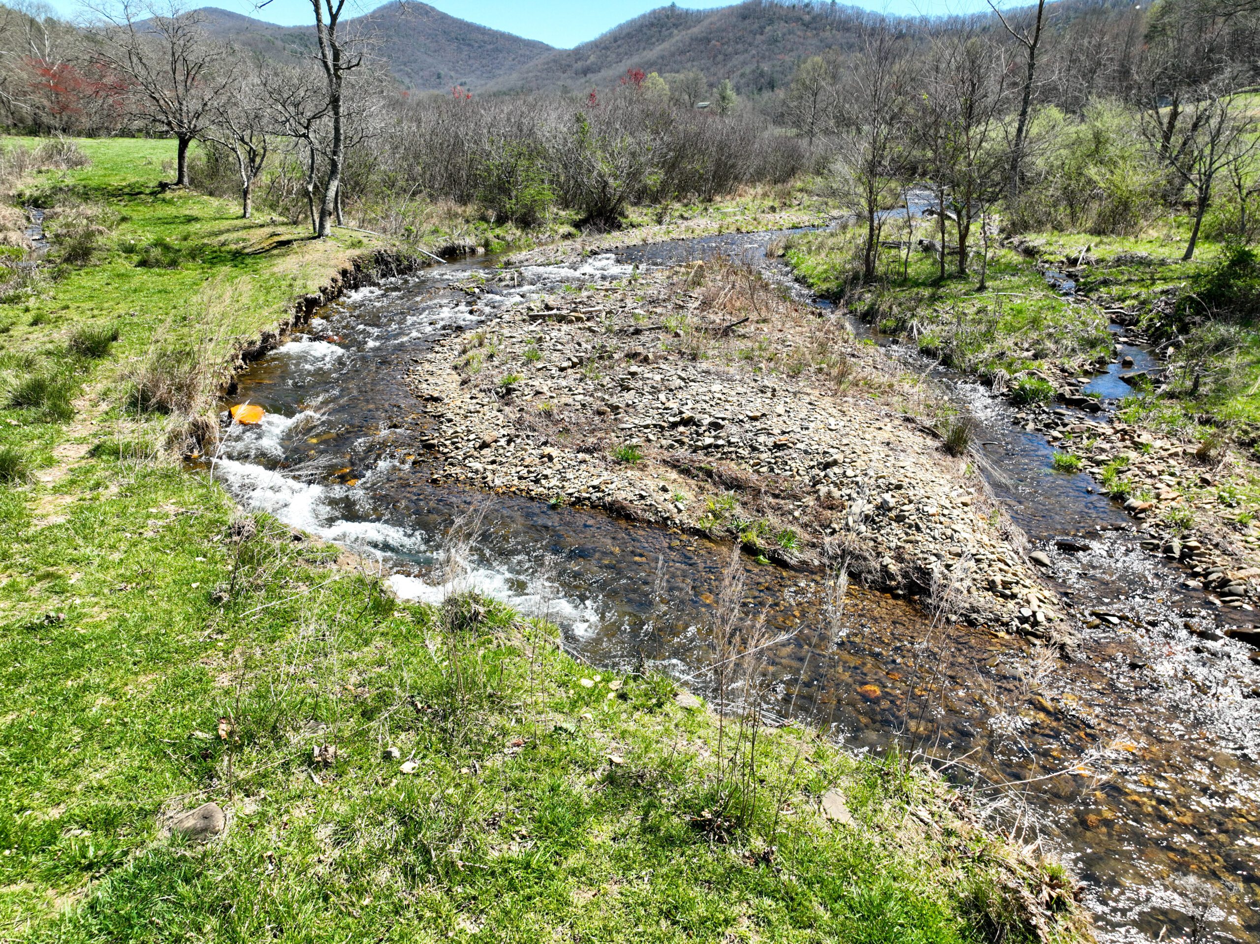
Eco Terra has entered into a contract to place an easement on a property that would comprise the Mill Creek Stream Mitigation Site (MCSMS) in Towns County, approximately 5.25 miles south of Hiawassee, Georgia (Figure 1). The MCSMS is within the Owl Creek – Hiawassee River 12-digit HUC 060200020102 within the Tennessee River Basin. The mitigation area is located east of Unicoi Turnpike/Georgia Highway 75.
The Site is located within a watershed identified as Excellent (4) by the GALT stream model and that consists of approximately 56% existing conserved lands including parts of the Chattahoochee-Oconee National Forest and Swallow Creek Wildlife Management Area (WMA).
Project Data
| Location: | Towns County, Georgia |
| Type: | Stream Restoration & Riverine Wetland Restoration |
| Size: | 26.1 Acres Mill Creek = 3,218 linear feet (proposed for restoration) UT 01 = 553 linear feet (proposed for restoration) UT 02 = 469 linear feet (proposed for restoration) England Branch = 1,112 linear feet (protected but no credit generation |
| HUC: | Middle Tennessee-Hiwassee River Basin 06020002 |
| Credit Types: | Stream & Wetland |
| Credit Amount: | Estimated: 1,062 Perennial >3 square mile 2018 Stream Credits 347 non-perennial 2018 Stream Credits 2.2 Riverine 2018 wetland credits |
Project Timeline

Latest Updates
This project is currently on hold
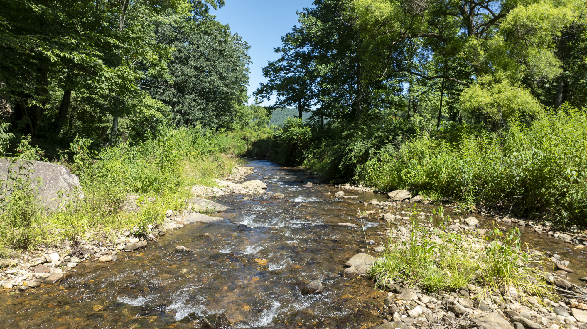
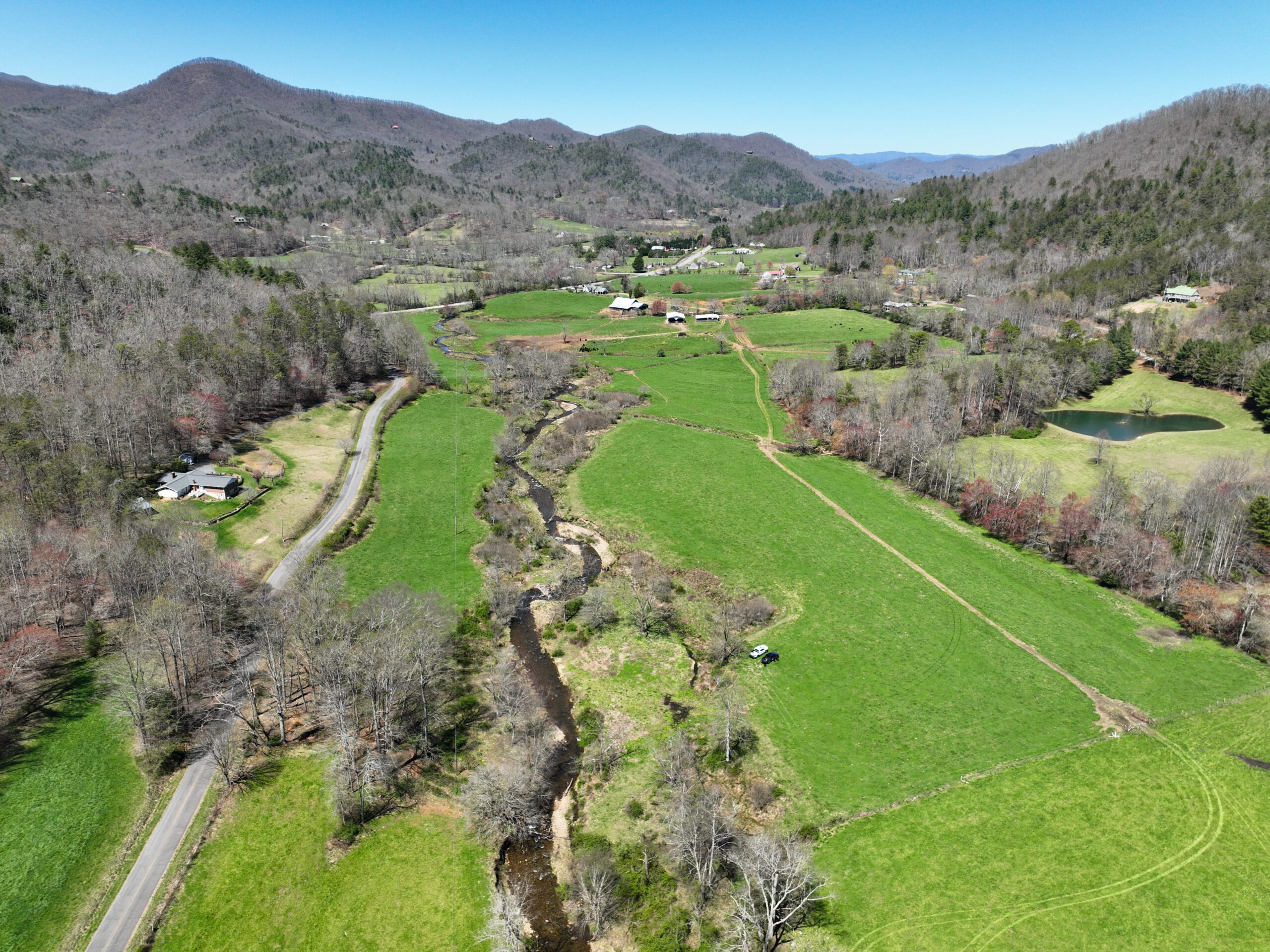
Project Overview
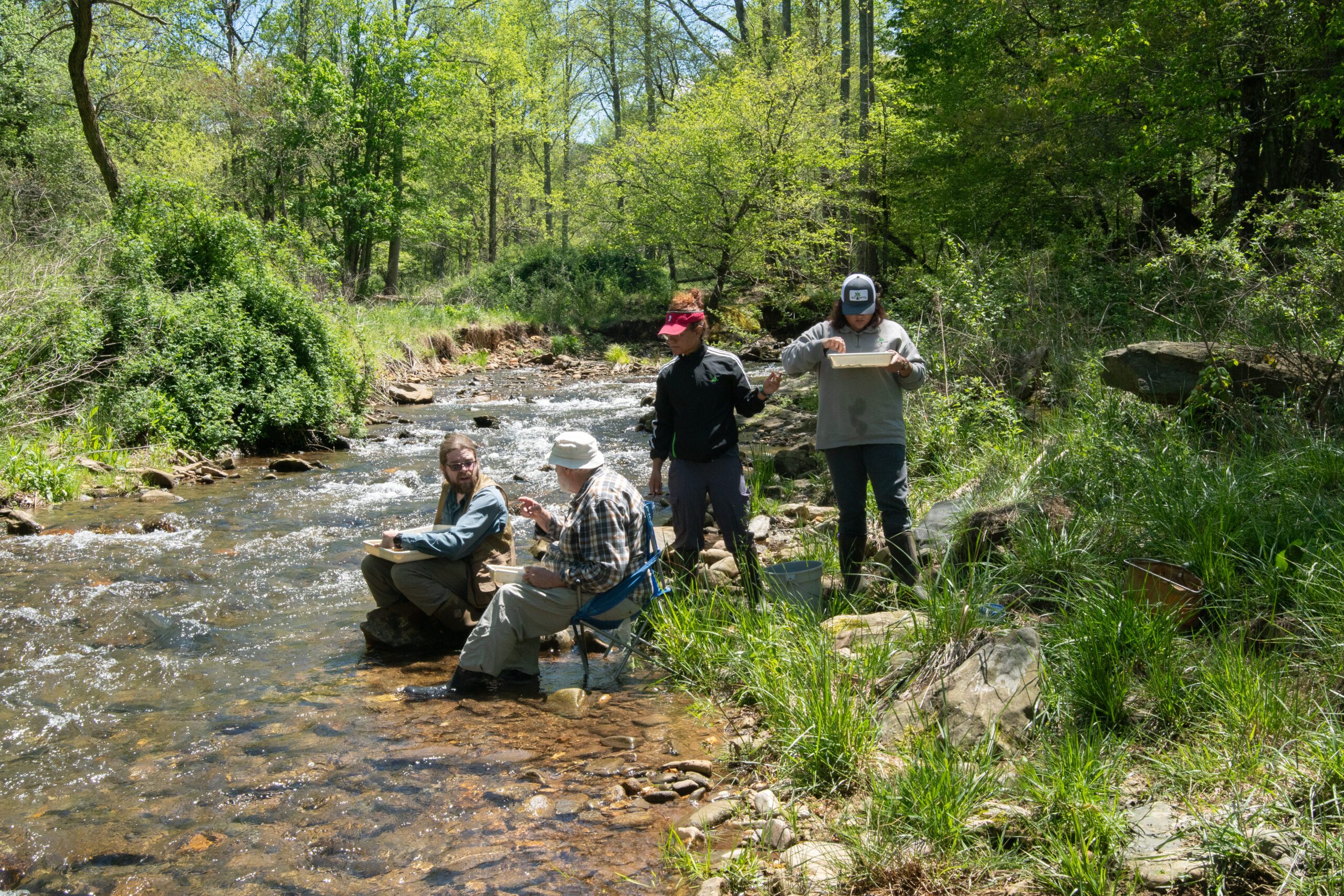
Macroinvertebrate Baseline Sampling