(404) 596-8004
Sweet Potato
About
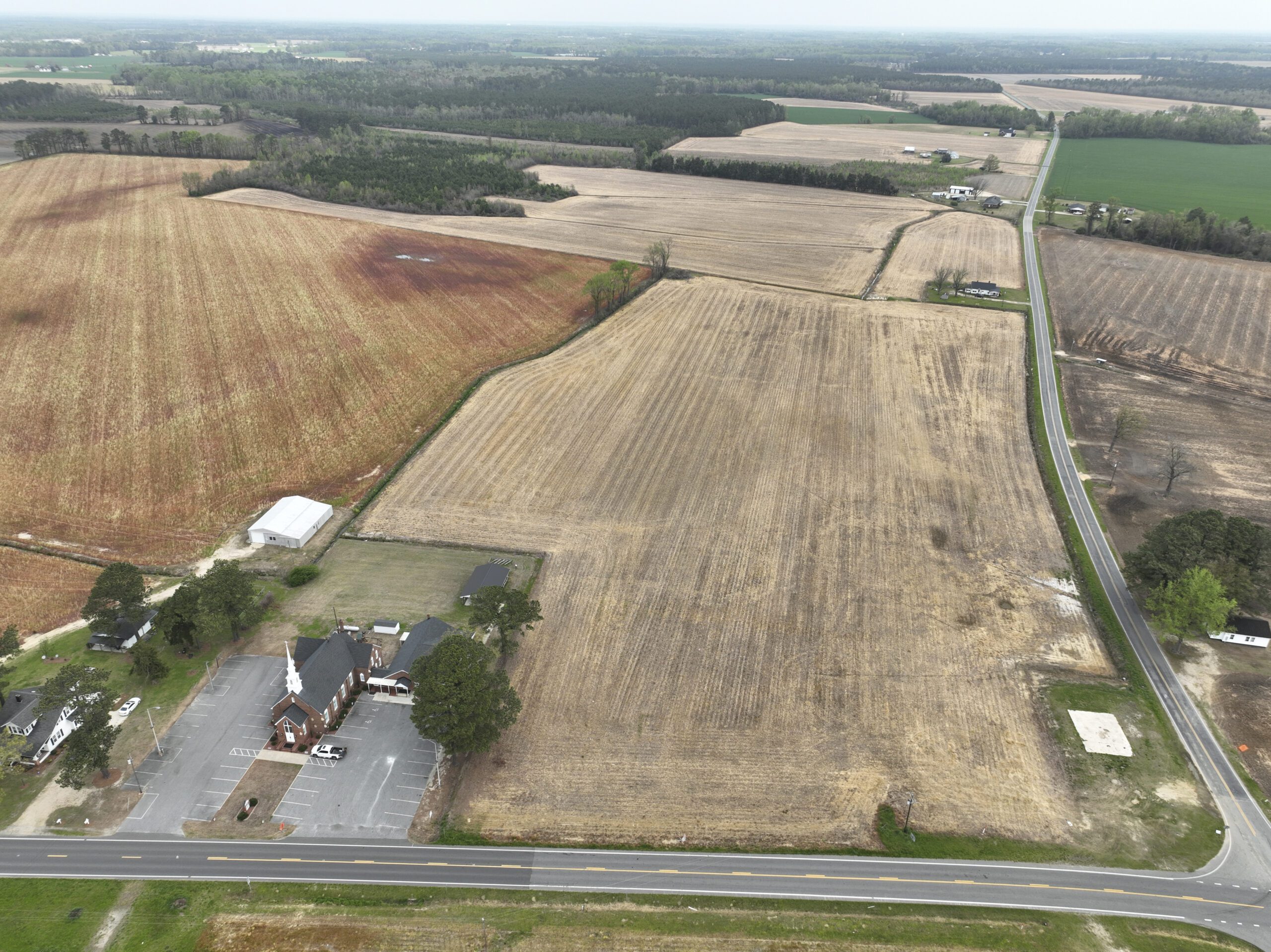
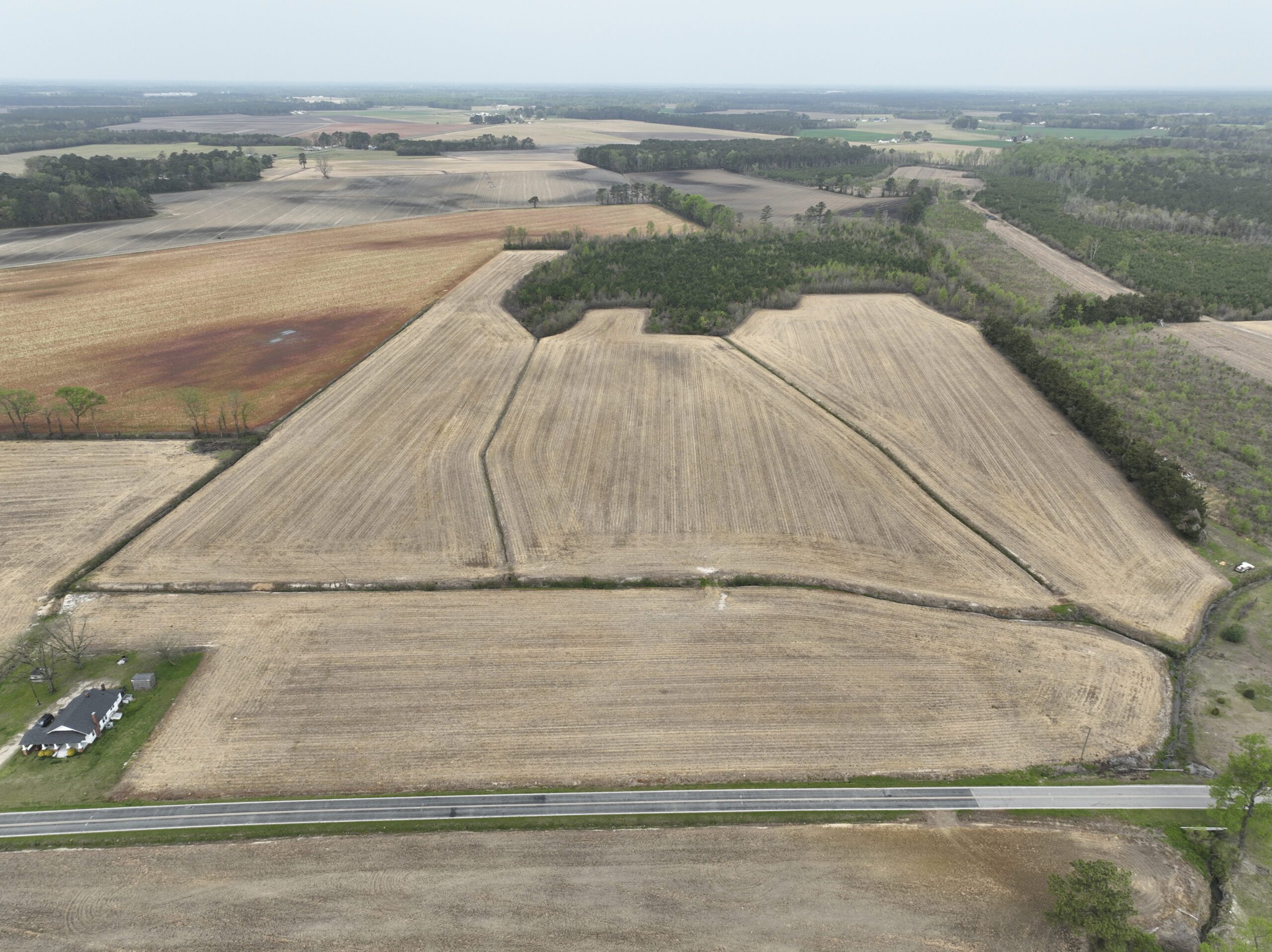
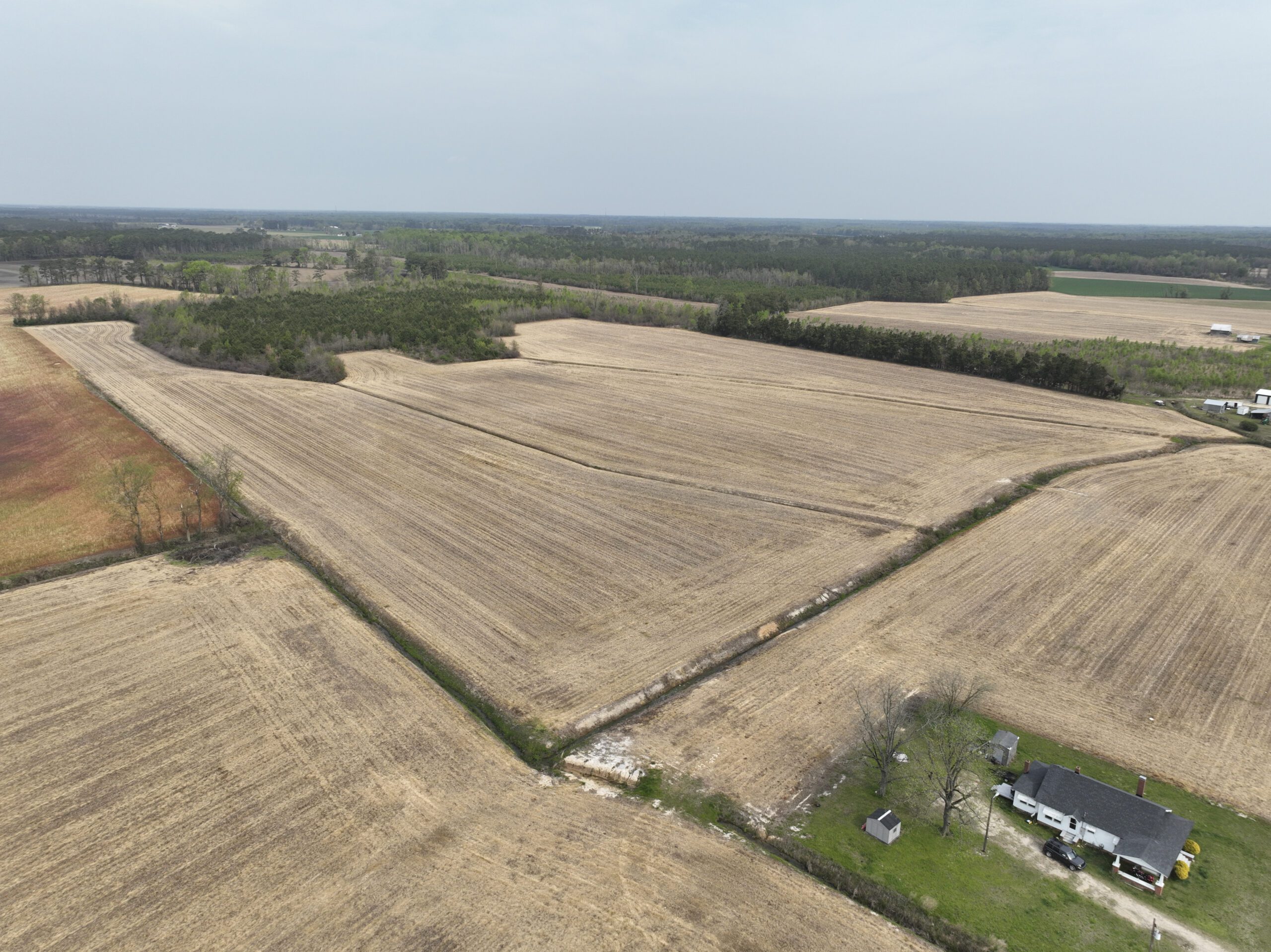
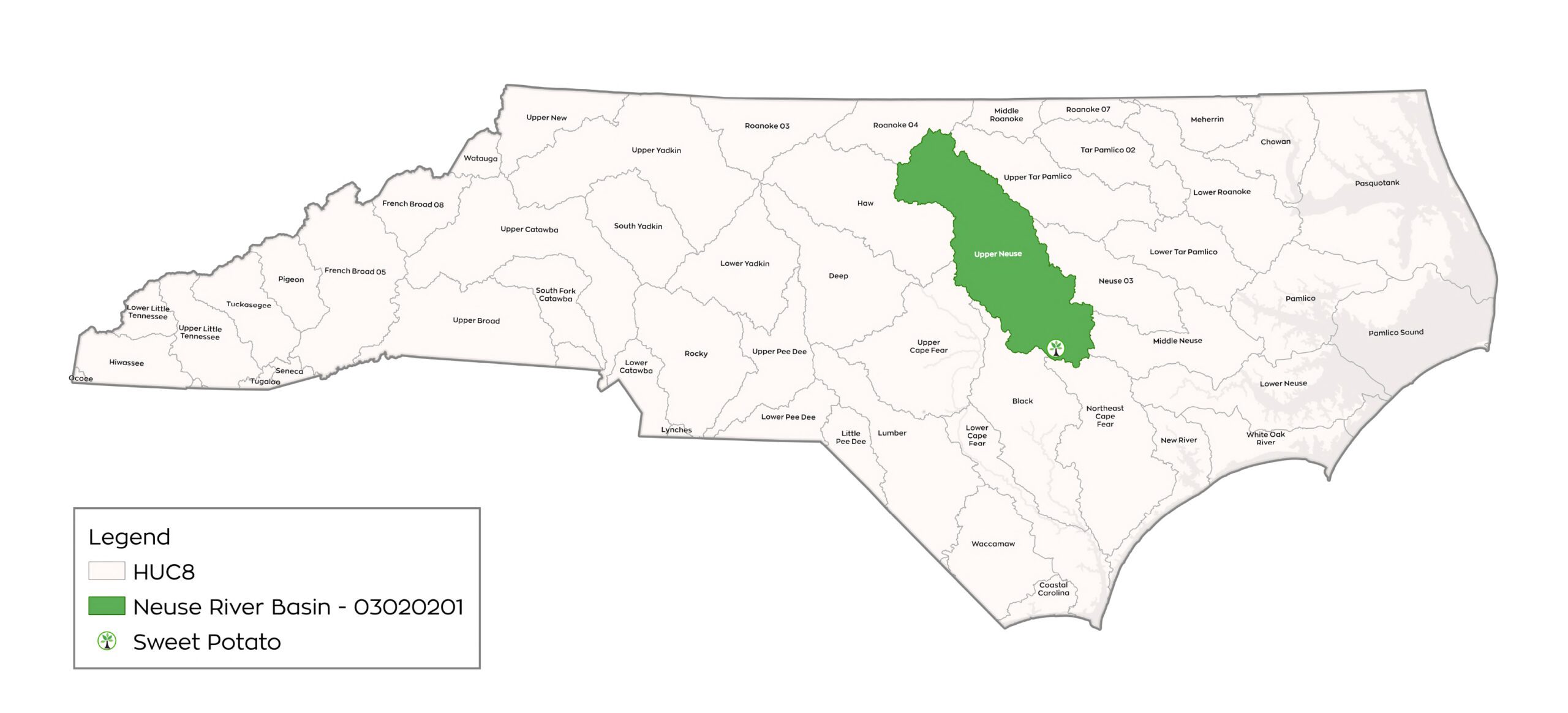
The Sweet Potato Mitigation Site (Site) is a nutrient offset and riparian buffer restoration site located approximately 8 miles west of Mt. Olive north of Highway 55 in Wayne County. The Nutrient Offset & Buffer Mitigation Plan (NOBMP) is under development and has been submitted under the Terra 2023 Neuse 01 Umbrella Mitigation Banking Instrument (UMBI) to the NC Division of Water Resources (DWR) in 2024. The Site is approximately 32.51 acres (1,416,135.600 ft2) of a total 49.2 acre tract situated along an unnamed tributary (UT) of Thoroughfare Swamp. The NOBMP is in development for riparian buffer credit (RBC) and nitrogen nutrient offset credit (NOC) in the service area designated by Neuse River Basin HUC 03020201. An expected 311,172.000 ft2 RBC will be generated by the proposed Site, as well as 68,014.876 lbs of nitrogen NOC.
Project Timeline

Latest Updates
Our Sweet Potato Nutrient Offset & Riparian Buffer
Mitigation Site in the Neuse river basin overview images.