Wynn Drive Henry

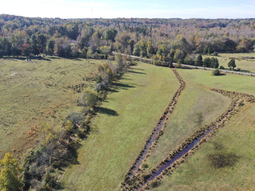
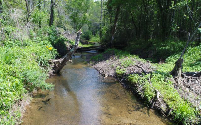
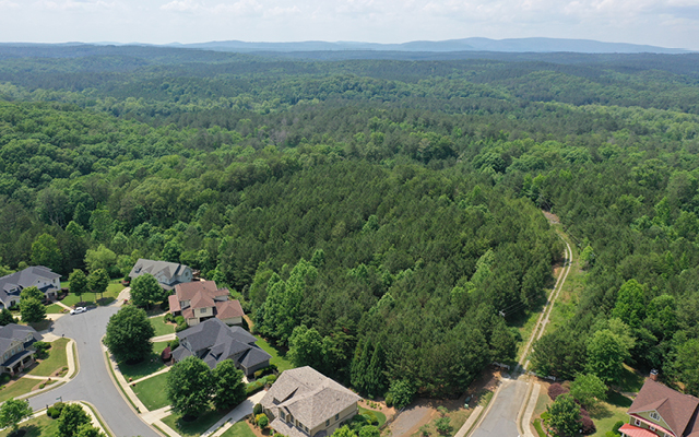
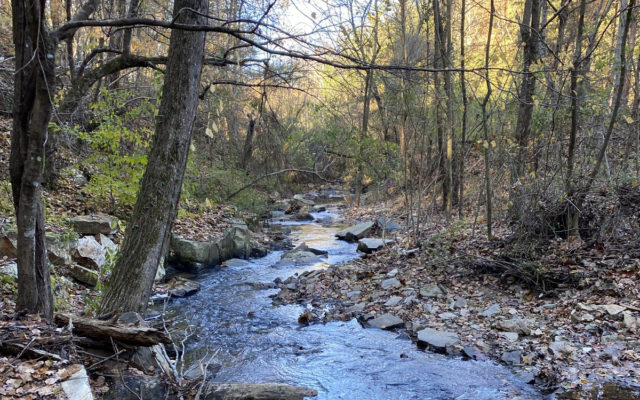
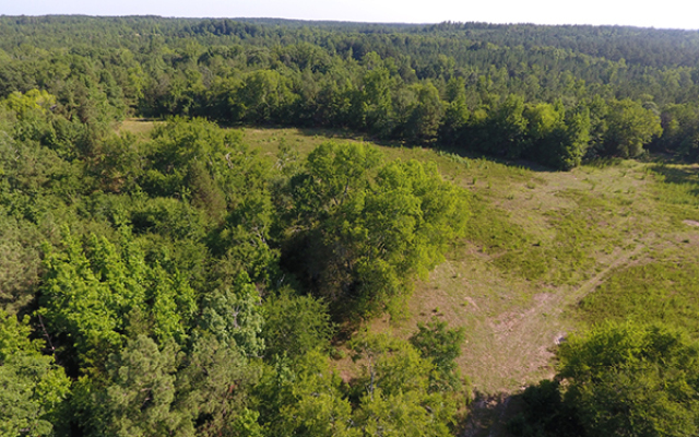
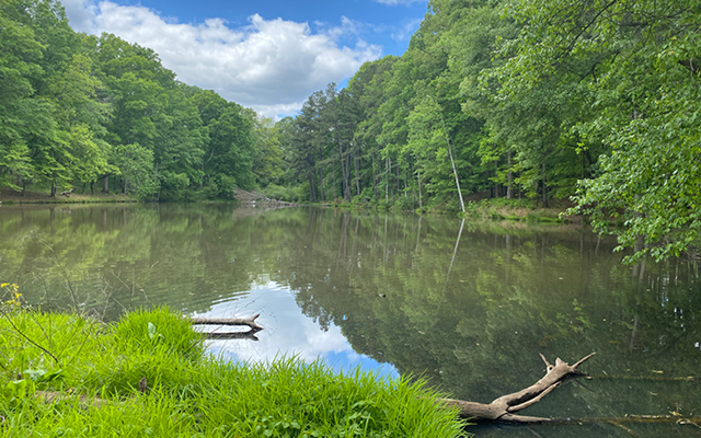
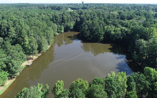
Wynn Drive HenryStatus The Property falls within the Piedmont Ecoregion and the Upper Ocmulgee Watershed. The Property’s almost 40 acres consist of mixed pine hardwood uplands, an early successional pine stand, two streams and associated riparian areas and bottoms, and a lake with associated wetland habitat. There are some areas with numerous dead trees and woody debris along with an …

Overview drone shot of Three Creeks Farm Mitigation Site in the Yadkin Pee Dee river basin in Davidson County, North Carolina by Eco Terra - Featured Photo

Three Creeks Farm

Three Creeks FarmAbout The Three Creeks Farm site is in Davidson County near the community of Midway and within the Yadkin River Basin. The project includes the restoration and enhancement of five stream channels as well as the restoration and preservation of riparian wetlands in the Abbotts Creek watershed. All stream channels and wetlands have been impacted by hay production, …

Drone cover image for Eco Terra's mitigation project, Sweet Potato

Sweet Potato

Sweet PotatoAbout The Sweet Potato Mitigation Site (Site) is a nutrient offset and riparian buffer restoration site located approximately 8 miles west of Mt. Olive north of Highway 55 in Wayne County. The Nutrient Offset & Buffer Mitigation Plan (NOBMP) is under development and has been submitted under the Terra 2023 Neuse 01 Umbrella Mitigation Banking Instrument (UMBI) to the …

Scott Branch Quarry

Scott Branch QuarryStatus The Property consists of approximately 120 acres of primarily pine, hardwood, and mixed pine hardwood forest. The varying topography is made up of a series of ridges with associated slopes and coves. The planted pine areas are typically along the ridge tops towards the north. The coves have a mix of pine-hardwood and hardwood stands. These areas …

Salacoa Stone Quarry

Salacoa Stone QuarryStatus The Conservation Easement protects approximately 90 acres in the Blue Ridge Physiographic Province. The lands are situated southwest of the town of Jasper in Pickens County, Georgia. The easement provides a permanent green space in an area that is within an hour’s drive of the Atlanta metropolitan area. The proximity to such a large population center makes …

River Green Preserve

River Green PreserveStatus The Property consists of approximately 22 acres of primarily pine, hardwood, and mixed pine hardwood forest. The Property is north of a residential development and the Army Corps of Engineers Allatoona Recreation Area. There are some young pine stands that are on the southern portion of the Property. Mature hardwood cove forests make up the northern portion. …

Pickens Decorative Stone

Pickens County Decorative StoneStatus The property is located within the Blue Ridge Ecoregion, which the Georgia SWAP noted as one of the richest centers of biodiversity in North America, and protection of the property furthers the SWAP’s goals to protect and preserve such important habitats. Protection of the water sources on the property sustains water quality for the Salacoa Creek …

Paul’s Farm

Paul’s FarmStatus The property is approximately half in agriculture and a half in woodland. It has been in agricultural and timber production for the last several decades, with one old home area. Currently, it is used for grazing, hay production, and recreation (private hunting, scenic enjoyment). Granite Flatrock outcrops and boulders exist on portions of the property. Paul’s Farm is …

Pates Creek Henry

Pates Creek HenryStatus The conservation of the Property in its relatively natural state aids in the protection of water quality and quantity through retention of water in the soils and plants on the Property, with slow release after movement and filtration across the Property and along its streams. This, in turn, benefits downstream creeks and rivers, including Pates Creek (on …

Aerial image of New Farm Mitigation Site in the Neuse river basin in North Carolina for Eco Terra

New Farm

New FarmAbout The New Farm Mitigation Site (Site) is a nutrient offset and riparian buffer restoration site located approximately 8 miles west of Mt. Olive north of Highway 55 in Wayne County. The Nutrient Offset & Buffer Mitigation Plan (NOBMP) is under development and has been submitted under the Terra 2023 Neuse 01 Umbrella Mitigation Banking Instrument (UMBI) to the …