Drone overview shot of our Bridgers Mitigation Bank Project in Wayne County, North Carolina, Bridgers - Neuse river basin - Eco Terra, Featured Image

Bridgers

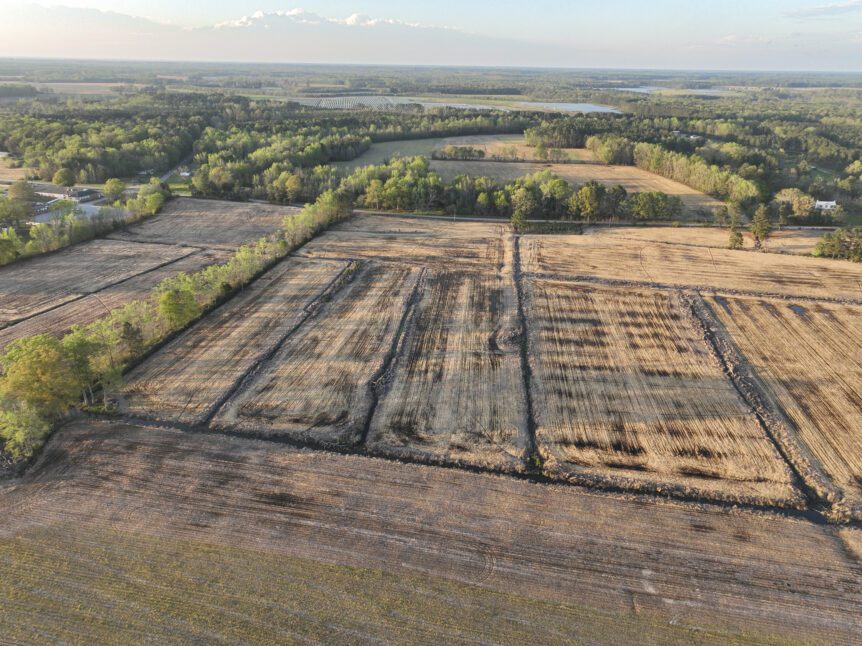
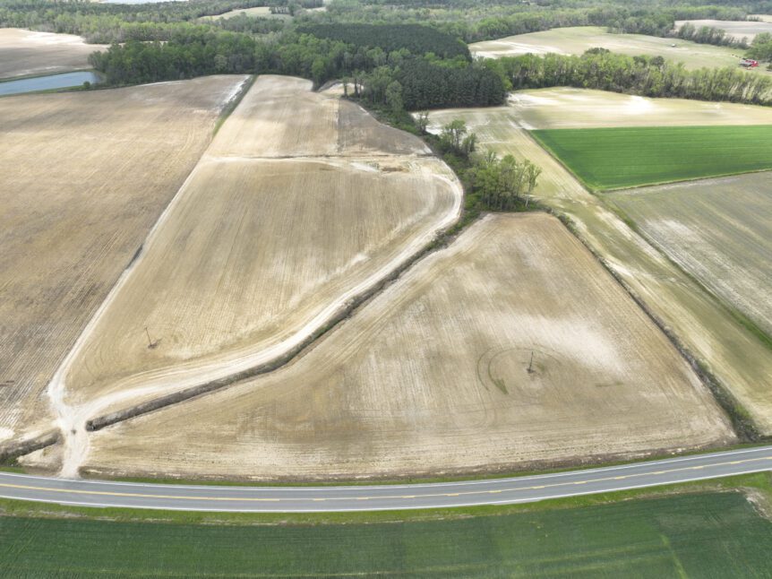
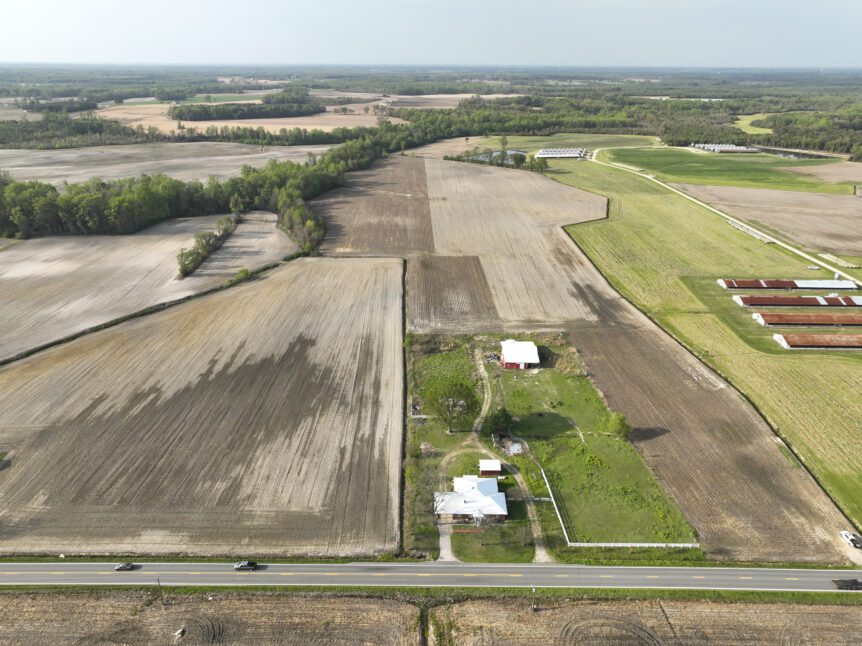
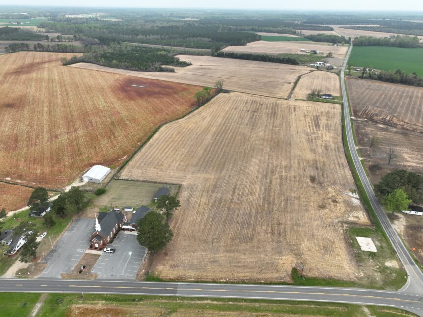
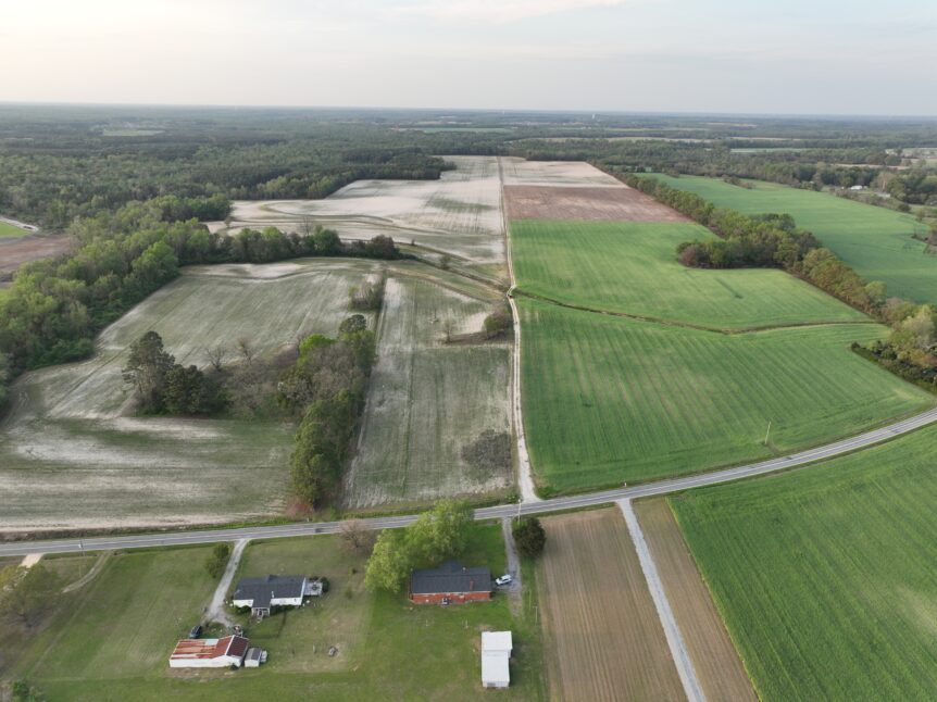
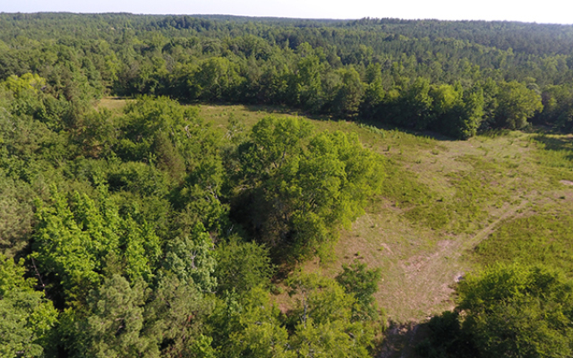
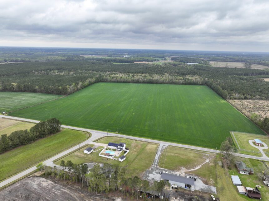
BridgersBridgersAbout Bridgers Nutrient Offset and Buffer Mitigation Site (Project) is situated in the Lower Little River watershed of the Upper Neuse River Basin. The Project is located in northwestern Wayne County, approximately one and a half miles southwest of Nahunta, NC. The proposed Project will provide riparian buffer mitigation and nutrient offset mitigation in the Upper Neuse River Basin outside …

Overview drone shot of Bonsai Mitigation Site in the Tar-Pamlico river basin in Edgecombe County, North Carolina by Eco Terra - Featured Photo

Bonsai

Bonsai Mitigation SiteAbout Bonsai Mitigation site is a riparian buffer mitigation and nutrient offset Site located in Edgecombe County approximately 7 miles northeast of Rocky Mount off of Battleboro-Leggett Road. The Nutrient Offset & Buffer Mitigation Plan (NOBMP) was submitted under the Bonsai Tar-Pamlico Umbrella Mitigation Banking Instrument (UMBI) to the NC Division of Water Resources (DWR) in 2024. The …

Aerial image of New Farm Mitigation Site in the Neuse river basin in North Carolina for Eco Terra

New Farm

New FarmAbout The New Farm Mitigation Site (Site) is a nutrient offset and riparian buffer restoration site located approximately 8 miles west of Mt. Olive north of Highway 55 in Wayne County. The Nutrient Offset & Buffer Mitigation Plan (NOBMP) is under development and has been submitted under the Terra 2023 Neuse 01 Umbrella Mitigation Banking Instrument (UMBI) to the …

Aerial image of Horseshoe Mitigation Site in the Neuse river basin in North Carolina for Eco Terra

Horseshoe

HorseshoeAbout The Horseshoe Mitigation Site (Site) is a nutrient offset and riparian buffer restoration site located approximately 4 miles west of Mt. Olive north of State Highway 55 in Wayne County. The Nutrient Offset & Buffer Mitigation Plan (NOBMP) is under development and has been submitted under the Terra 2023 Neuse 01 Umbrella Mitigation Banking Instrument (UMBI) to the NC …

Drone cover image for Eco Terra's mitigation project, Sweet Potato

Sweet Potato

Sweet PotatoAbout The Sweet Potato Mitigation Site (Site) is a nutrient offset and riparian buffer restoration site located approximately 8 miles west of Mt. Olive north of Highway 55 in Wayne County. The Nutrient Offset & Buffer Mitigation Plan (NOBMP) is under development and has been submitted under the Terra 2023 Neuse 01 Umbrella Mitigation Banking Instrument (UMBI) to the …

Drone cover image for Eco Terra's mitigation project, Little Timber.

Little Timber

Little TimberAbout Little Timber Mitigation Site (Site) is a nutrient offset and riparian buffer restoration site located approximately 4 miles west of the Dudley off of Oberry Road in Wayne County. The Nutrient Offset & Buffer Mitigation Plan (NOBMP) is under development and has been submitted under the Terra 2023 Neuse 01 Umbrella Mitigation Banking Instrument (UMBI) to the NC …

Overview drone image of Mill Creek Mitigation Bank in Hiwassee, GA in TN-02 river basin by Eco Terra

Mill Creek

Mill CreekAbout Eco Terra has entered into a contract to place an easement on a property that would comprise the Mill Creek Stream Mitigation Site (MCSMS) in Towns County, approximately 5.25 miles south of Hiawassee, Georgia (Figure 1). The MCSMS is within the Owl Creek – Hiawassee River 12-digit HUC 060200020102 within the Tennessee River Basin. The mitigation area is …

Eton Materials

Eton MaterialsStatus The Eton Materials, LLC property consists of approximately 115 forested acres located about three miles south of the Tennessee—Georgia state line, near the unincorporated community of Cisco in Murray County, Georgia. The property is just one mile west of the boundary of the Chattahoochee National Forest and the Cohutta Wildlife Management Area, located immediately within the National Forest …

Crane Mountain

Crane MountainStatus Portions of the property consist of a mature forest while a majority of the land is covered by relatively young pine forest regrowth. Numerous rare species, such as Purple Coneflower, Monkeyface Orchid, Radford’s Sedge, Green Salamander, Barren Strawberry, are known to occur in close proximity to the property and within three miles from the site. The protected land …

Paul’s Farm

Paul’s FarmStatus The property is approximately half in agriculture and a half in woodland. It has been in agricultural and timber production for the last several decades, with one old home area. Currently, it is used for grazing, hay production, and recreation (private hunting, scenic enjoyment). Granite Flatrock outcrops and boulders exist on portions of the property. Paul’s Farm is …