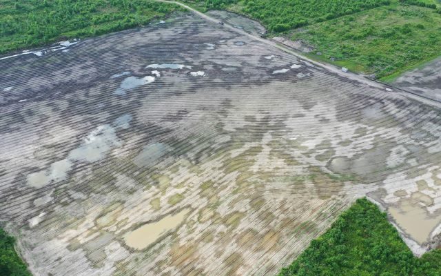
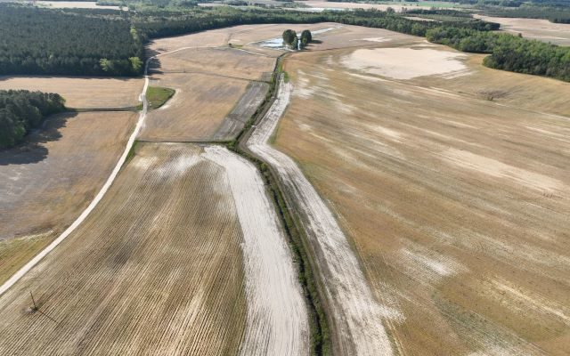
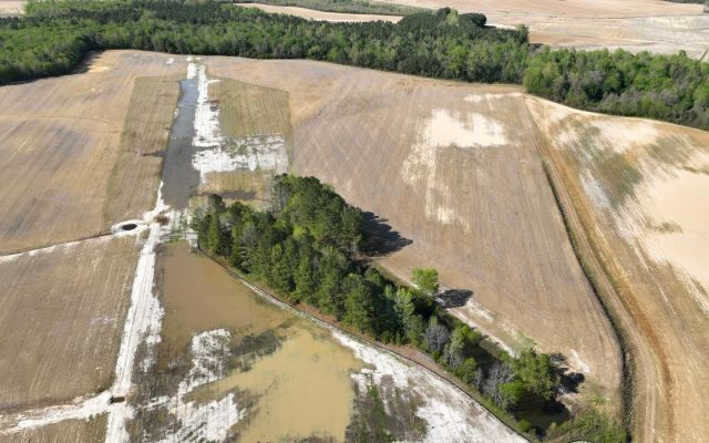
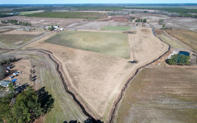
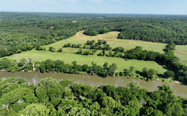
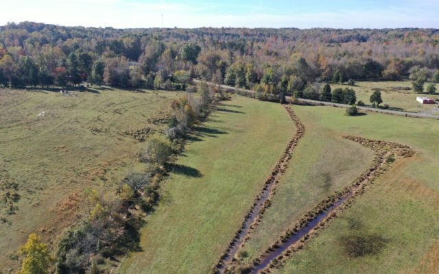
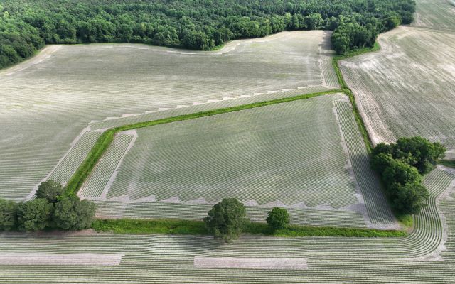
Drone overview shot of our Bridgers Mitigation Bank Project in Wayne County, North Carolina, Bridgers - Neuse river basin - Eco Terra, Featured Image

Bridgers

BridgersBridgersAbout Bridgers Nutrient Offset and Buffer Mitigation Site (Project) is situated in the Lower Little River watershed of the Upper Neuse River Basin. The Project is located in northwestern Wayne County, approximately one and a half miles southwest of Nahunta, NC. The proposed Project will provide riparian buffer mitigation and nutrient offset mitigation in the Upper Neuse River Basin outside …

Close up aerial image of Acorn Mitigation Site in the Neuse river basin in North Carolina for Eco Terra

Acorn

AcornAcornAbout Acorn Nutrient Offset and Riparian Buffer Mitigation Site is situated in the Lower Falling Creek watershed of the Upper Neuse River Basin. The Project will address agricultural runoff by reducing sediment and nutrient loading into unnamed tributaries of Thoroughfare Swamp. The proposed Project will improve terrestrial habitat by establishing and preserving a riparian buffer of native hardwoods along streams …

Overview drone shot of Bonsai Mitigation Site in the Tar-Pamlico river basin in Edgecombe County, North Carolina by Eco Terra - Featured Photo

Bonsai

Bonsai Mitigation SiteAbout Bonsai Mitigation site is a riparian buffer mitigation and nutrient offset Site located in Edgecombe County approximately 7 miles northeast of Rocky Mount off of Battleboro-Leggett Road. The Nutrient Offset & Buffer Mitigation Plan (NOBMP) was submitted under the Bonsai Tar-Pamlico Umbrella Mitigation Banking Instrument (UMBI) to the NC Division of Water Resources (DWR) in 2024. The …

Aerial image of New Farm Mitigation Site in the Neuse river basin in North Carolina for Eco Terra

New Farm

New FarmAbout The New Farm Mitigation Site (Site) is a nutrient offset and riparian buffer restoration site located approximately 8 miles west of Mt. Olive north of Highway 55 in Wayne County. The Nutrient Offset & Buffer Mitigation Plan (NOBMP) is under development and has been submitted under the Terra 2023 Neuse 01 Umbrella Mitigation Banking Instrument (UMBI) to the …

Aerial image of Horseshoe Mitigation Site in the Neuse river basin in North Carolina for Eco Terra

Horseshoe

HorseshoeAbout The Horseshoe Mitigation Site (Site) is a nutrient offset and riparian buffer restoration site located approximately 4 miles west of Mt. Olive north of State Highway 55 in Wayne County. The Nutrient Offset & Buffer Mitigation Plan (NOBMP) is under development and has been submitted under the Terra 2023 Neuse 01 Umbrella Mitigation Banking Instrument (UMBI) to the NC …

Drone cover image for Eco Terra's mitigation project, Sweet Potato

Sweet Potato

Sweet PotatoAbout The Sweet Potato Mitigation Site (Site) is a nutrient offset and riparian buffer restoration site located approximately 8 miles west of Mt. Olive north of Highway 55 in Wayne County. The Nutrient Offset & Buffer Mitigation Plan (NOBMP) is under development and has been submitted under the Terra 2023 Neuse 01 Umbrella Mitigation Banking Instrument (UMBI) to the …

Drone cover image for Eco Terra's mitigation project, Little Timber.

Little Timber

Little TimberAbout Little Timber Mitigation Site (Site) is a nutrient offset and riparian buffer restoration site located approximately 4 miles west of the Dudley off of Oberry Road in Wayne County. The Nutrient Offset & Buffer Mitigation Plan (NOBMP) is under development and has been submitted under the Terra 2023 Neuse 01 Umbrella Mitigation Banking Instrument (UMBI) to the NC …

Overview drone image of Colonial Farms Wetland site in Tarboro, North Carolina in TP-03 river basin by Eco Terra

Colonial Farms Wetland

Colonial Farms WetlandAbout The Colonial Farms Wetland Mitigation Site in Edgecombe County, approximately 2.5 miles south of Tarboro off Colonial Road, and is within the Tar-Pamlico River Basin. The project will include the restoration of riparian wetlands in the Tar-Pamlico River Basin. The project will include the restoration of a forested wetland corridor within the greater Tar River watershed, and …

Overview drone shot of Maple Swamp Buffer Mitigation Site in the Tar-Pamlico river basin in Edgecombe County, North Carolina by Eco Terra - Featured Photo

Maple Swamp Buffer

Maple Swamp BufferAbout The Maple Swamp Buffer Mitigation Site in Edgecombe County, approximately 2.0 miles northeast of Leggett off NC HWY 97 E, and is located within the Tar-Pamlico River Basin. The project will include the restoration of riparian buffers along UT to Maple Swamp, within the Fishing Creek watershed and within Habitat, Hydrology, and Water Quality Targeted Resource Areas …

Overview drone image of Maple Swamp Wetland site in Leggett, North Carolina in TP-02 river basin by Eco Terra

Maple Swamp Wetland

Maple Swamp WetlandAbout The Maple Swamp Wetland Mitigation Site in Edgecombe County, approximately 2.0 miles northeast of the Town of Leggett, and is located within the Tar-Pamlico River Basin. The project will include the restoration of a forested non-riparian wetland corridor within the Maple Swamp watershed and greater Fishing Creek watershed, and within Habitat, Hydrology, and Water Quality Targeted Resource …